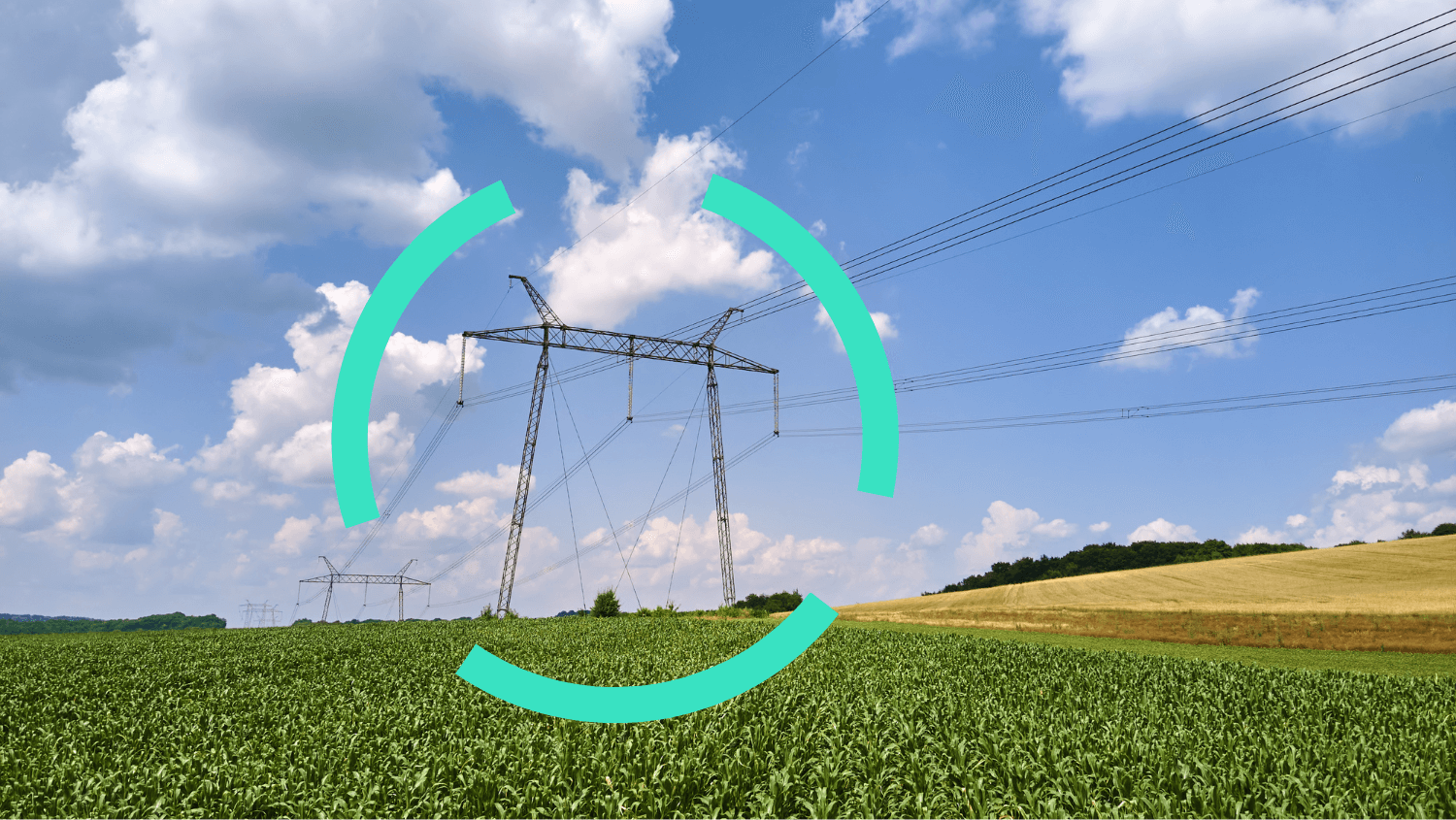
Connectyour Geospatial Data
CONNECT, AUTOMATE & PERFORM
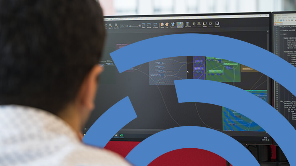
efficiency gains in data processing tasks
automation to reduce handling errors
compatible data formats that help break down silos
WHY CONSORTECH?
+ 500 projets completed
A structured path to geospatial performance
Quick wins
Targeted projects for immediate results
Reduce dependency with sustainable solutions
Scalable solutions to reduce technological debt, including knowledge transfer
Niche expertise with over 35 years of experience
An elite team in geospatial integration


OUR SATISFIED CUSTOMERS


Move faster…
and in the right direction
From giving you strategic advice to carrying out your GIS projects, our experts will be there to ensure the success of your department.
STRATEGIC ADVICE
We can advise you on solution architecture, project analysis and how
to draw up a skills
improvement plan.

TURNKEY PROJECTS
Are you short on time or resources? We take care of your projects from end to end. Our experts never shy away from a good challenge.
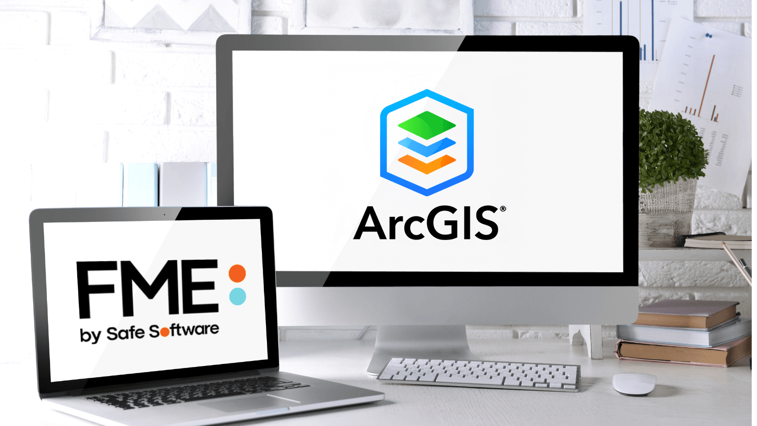
FME, The All-Data,
Any-AI Platform


FME, The All-Data,
Any-AI Platform
FME Form
Build & Run Automations
FME Flow (Server)
Orchestrate & Monitor Workflows
FME Flow Hosted
Orchestrate Workflows (SaaS)
MSP Certified
Geospatial performance is yours for the taking
Our solutions are modular, complementary and based on a collaborative approach. Improve the skills of your team and boost the performance of your ArcGIS environment, one project at a time.

Ignition
Automation

Orchestration

FME Governance
Ignition
Automation
Orchestration