Using FME to integrate CAD data into a GIS is as easy as 1, 2, 3
Discover the three basic steps to follow when going from CAD to GIS.

Discover the three basic steps to follow when going from CAD to GIS.

To protect your spatial data and ensure their continuous use, it is best to plan effective backup strategies for your Geodatabase. And yes, FME can help!

Consortech is proud to announce that its specialized geomatics portfolio is growing even more impressive with a new partnership with Esri.

See how ArcGIS and FME can be used to better track the quality of snow removal and de-icing operations on public roads.
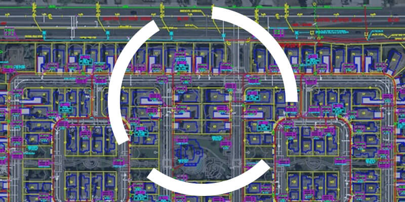
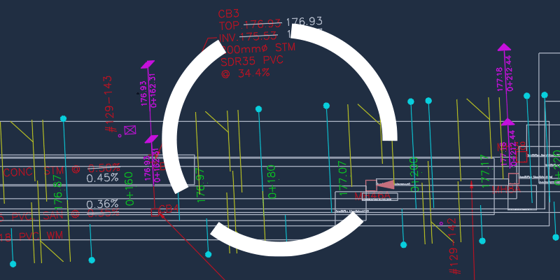
One of the challenges geomaticians face is integrating CAD data into their GIS. To be effective in their work, they need to understand how to read and use CAD data.