FME Software,
a powerful data integration platform
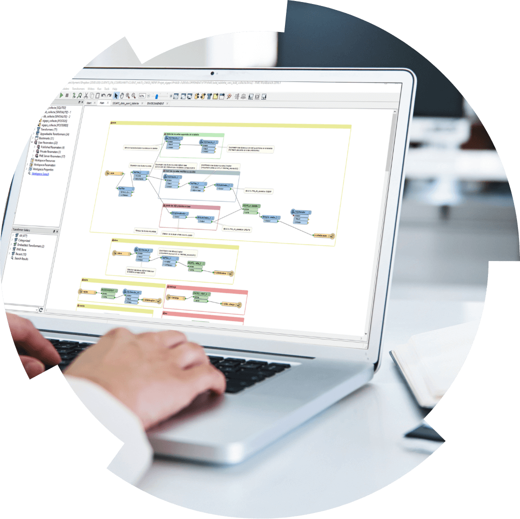
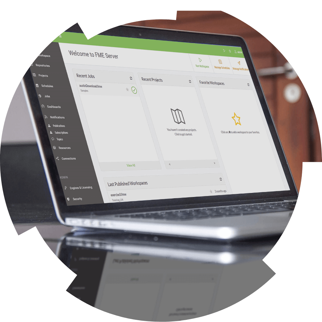
Developed by Safe Software, FME is an integration platform that helps you automate and orchestrate your processing of spatial or other kinds of data. It also makes it easier to integrate applications such as Esri into your corporate systems.
From quick prototyping to robust production processes, handling your geospatial data has never been this easy.
Get the most out of your geomatics analysts: Less coding, more time for value-added work with FME.
FME SOFTWARE WILL IMPROVE YOUR ANALYSTS’ PERFORMANCE
- A neutral solution that supports over 450 formats and applications
- Its drag-and-drop visual interface makes knowledge transfer easy
- Increase your agility by testing out scenarios using prototyping
- No programming required—FME frees you from depending on specialized resources
- Stop being held hostage by proprietary systems—use FME to seamlessly bridge your systems
FME SOFTWARE will turn your analysts into GIS ninjas
- A neutral solution that supports over 450 formats and applications
- Its drag-and-drop visual interface makes knowledge transfer easy
- Increase your agility by testing out scenarios using prototyping
- No programming required—FME frees you from depending on specialized resources
- Stop being held hostage by proprietary systems—use FME to seamlessly bridge your systems
FME is so much easier to use and way more efficient than coding. In my current role, I need to perform so many duties, that it is hard to sit down and dedicate time to coding. On the other hand, I can build FME models quickly and easily, without all the development overhead.
– Paul Morrison, GIS Manager, Red Bluff Resources

Our experts’ blog
Lights on geospatial performance
How utilities can overcome parcel data challenges thanks to FME
Discover how FME helps utility providers overcome parcel data challenges and streamline workflows for smarter planning and network expansion.

SUCCESS STORY
Flying colours for our team
Migration masterclass: How Planview Utility Services achieved a seamless FME transformation with Consortech
Planview Utility Services knew a smooth migration required a thoughtful approach and reliable support. They turned to Consortech for the transition.
A UNIQUE PARTNERSHIP
Learn about the advantages of Consortech “boutique” services
A UNIQUE PARTNERSHIP
Learn about the advantages of Consortech “boutique” services


