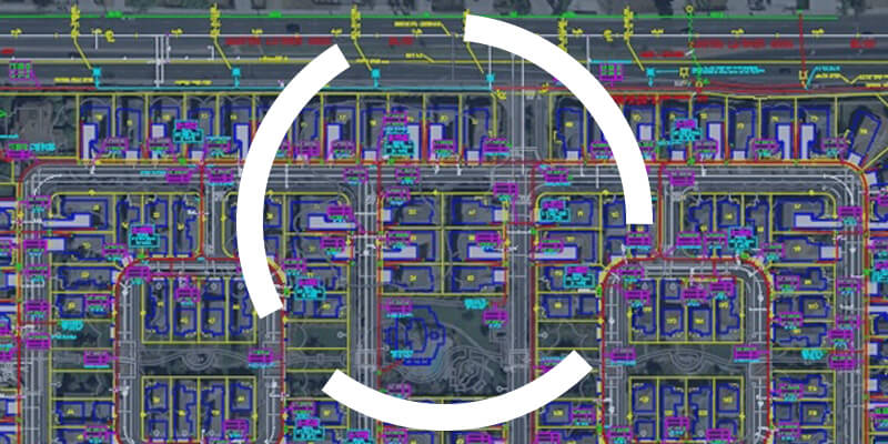
Before integrating CAD data into a GIS, make sure you understand it!
One of the challenges geomaticians face is integrating CAD data into their GIS. To be effective in their work, they need to understand how to read and use CAD data.

One of the challenges geomaticians face is integrating CAD data into their GIS. To be effective in their work, they need to understand how to read and use CAD data.

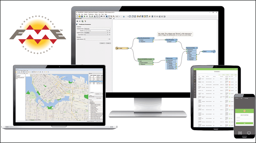
FME has been around for over 25 years, but many geomatics experts still haven’t heard of this software. Read on for five more reasons to add FME to your toolbox.

In today’s time, where geospatial data is increasingly valued, the GIS specialist turns out to be an essential resource that helps meet the changing needs of an organization.

In most cases, decision makers have no training in geomatics or any related discipline. Geospatial data therefore has to be easy to understand and use. That is where we geomaticians come in…

FME 2019 is now live, and here at Consortech we are super excited about some of the new features it has to offer…
Safe Software has developed several FME products to meet the various tech needs of businesses, but how do you choose between FME Desktop, FME Server or FME Cloud?